Sumana Mukherjee / New Delhi
The US Ambassador to India Eric Garcetti announced that India and United States will be proudly launching the US-India Campaign to highlight their partnership in Space in May 2024.
India and United states have determined to deepen their partnership in outer space exploration
This May, we're proud to launch #USIndiaFWDforSpace campaign to highlight the #USIndia partnership in space endeavors! Together, we've developed #NISAR, a cutting-edge radar satellite revolutionizing Earth observation for climate action. Working together under the Artemis… pic.twitter.com/nwoJrC1fna
— U.S. Ambassador Eric Garcetti (@USAmbIndia) May 1, 2024
Indian Space Research Organisation (ISRO) and the National Aeronautics and Space Administration (NASA) have commenced discussions on modalities, capacity building, and training for mounting a joint effort to the International Space Station in 2024.
.webp)
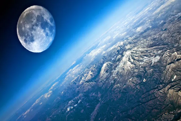
Mother Earth- a view from the Space
The NASA-ISRO Synthetic Aperture Radar (NISAR) mission is the largest and first truly joint collaboration in space between the U.S. and India. It comes as the two countries deepen their scientific ties more broadly
NISAR, an Earth-observation satellite, is being jointly developed by the National Aeronautics and Space Administration (NASA) and the Indian Space Research Organisation (ISRO).

Prime Minister Narendra Modi with US President Joe Biden
NISAR was envisioned by NASA and ISRO eight years ago in 2014 as a powerful demonstration of the capability of radar as a science tool and help us study Earth's dynamic land and ice surfaces in greater detail than ever before.
The satellite will operate for a minimum of three years. It is a Low Earth Orbit (LEO) observatory. NISAR will map the entire globe in 12 days.
.webp)
NISAR will be the first radar of its kind in space to systematically map Earth, using two different radar frequencies (L-band and S-band) to measure changes in our planet's surface less than a centimetreacross.
Both radar systems — one built by NASA, the other by ISRO — operate at long wavelengths that can cut through clouds and collect measurements at night.

The radar from one of the instruments can penetrate tree canopies and give researchers better estimates of the density of trees, which can be used to track the capture and release of carbon from forests — key information for climate models.
The instruments will collect measurements of 240-kilometer-wide swaths of the planet's surface as the satellite orbits Earth.
Data from the longer wavelength radar system will be used to create a map of much of Earth's land and ice every 12 days.

A beautiful view from the Space sent by Satelites
That data can be combined with measurements from the shorter wavelength system, which is more sensitive to smaller structures, and will focus on collecting data about India and surrounding countries, Antarctica and elsewhere.
NISAR will provide a wealth of data and information about the Earth's surface changes, natural hazards, and ecosystem disturbances, helping to advance our understanding of Earth system processes and climate change.

Earth's Surface from the Space
The mission will provide critical information to help manage natural disasters such as earthquakes, tsunamis, and volcanic eruptions, enabling faster response times and better risk assessments.
NISAR data will be used to improve agriculture management and food security by providing information about crop growth, soil moisture, and land-use changes.
The mission will provide data for infrastructure monitoring and management, such as monitoring of oil spills, urbanization, and deforestation. I will help tomonitor and understand the impacts of climate change on the Earth's land surface, including melting glaciers, sea-level rise, and changes in carbon storage.
.webp)
Rapidly melting glaciers has disastrous consequences on the animals that rely on them for survival.
NASA is planning to train an Indian astronaut, and India last year signed on to the U.S.-led Artemis Accords that lays out governance for exploring the Moon.
The U.S. and India have also begun to work more closely on security in the Indo-Pacific, innovation and other issues.
The NISAR mission will generate massive amounts of data each year.
NASA has long required its data be free and open-source. ISRO has adopted a new policy that allows free data download for any resolutions coarser than 5 [meters], for any mission
ALSO READ: When Ila Arun sang for women’s representation in Lok Sabha
India's remote sensing program has historically focused on the country and surrounding regions, and the societal and economic benefit to India.
